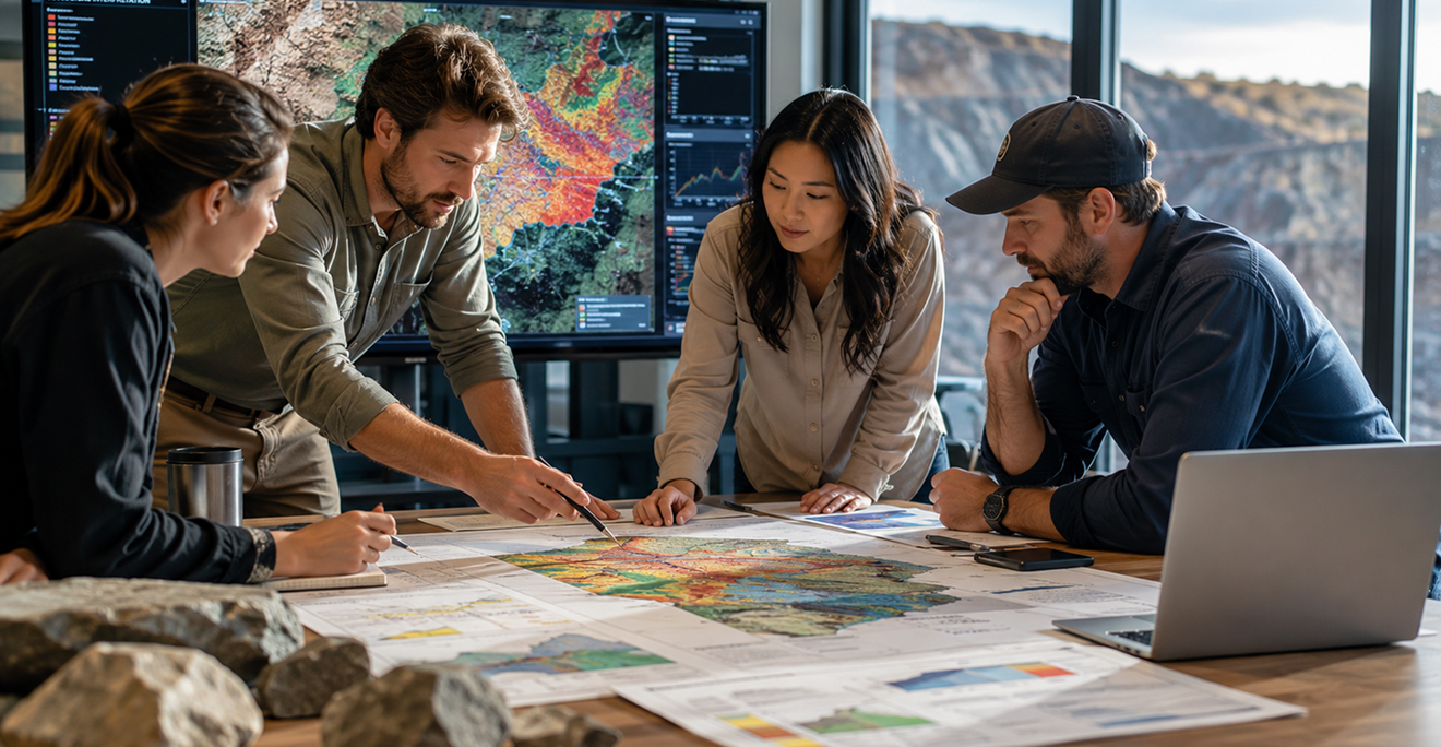
Terraprisma

Accelerated exploration. Smarter decisions. Lower impact.

Terraprisma transforms how mining companies approach early-stage exploration.

We combine satellite data, AI and decades of geoscientific knowledge to help you detect mineral potential, map geological structures, and monitor ESG risks, all remotely, in just a few weeks.

See how Terraprisma can transform
your next exploration phase

AI-powered geological insights

AI-powered geological insights

ESG baseline & environmental monitoring

ESG baseline & environmental monitoring

remote and scalable analysis

100% remote and scalable analysis

radar

From 100 to 5,000+ km²

Terraprisma is purpose-built for the mining & exploration sector

Mining companies signing new license agreements.

Junior & mid-sized mining companies
acquiring new licenses

Exploration team analyzing maps and terrain before drilling

Exploration teams assessing targets before drilling

Government officials and institutions mapping national mineral resources

Governments & institutions mapping national mineral resources

Sustainability officers and ESG managers analyzing long-term environmental data

Sustainability officers & ESG managers requiring long-term environmental data

Start your pilot project today and explore smarter.