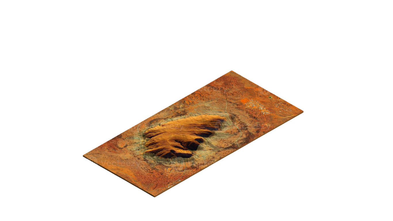
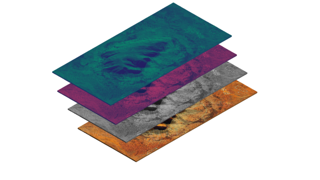
Correlate geomorphology, sedimentary architecture, and terrain features through advanced satellite-based assessments. Leverage a unified data cube approach to reveal high-value geological correlations, accelerating exploration decisions while supporting sustainable land management.
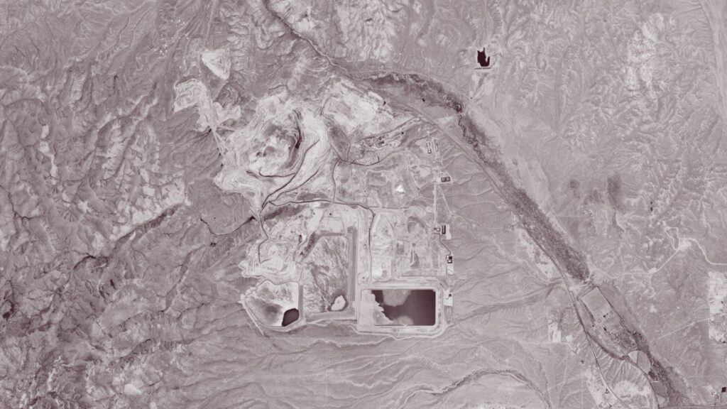
Track changes in water quality, biomass, air composition, and land use with satellite-driven insights, and start the monitoring when your exploration activities begin.
“At Terraprisma, we believe that the future of mineral exploration lies in precision, speed, and responsibility. Satellite intelligence and AI allows us to reduce uncertainty, minimise impact, and accelerate discovery.”
Thomas Kaakeh, Geologist and CEO of Terraprisma
Our mission
Mineral exploration today is slow, expensive, and often environmentally disruptive. Terraprisma is here to change that. We harness AI-powered satellite intelligence to transform how resources are discovered — faster, leaner, and with minimal environmental impact.
Vision
Enabling a responsible and efficient supply of critical resources while preserving the planet for future generations
Leverage space technology and AI to uncover untapped mineral potential faster and smarter