The Method

The method behind the targets.

Good exploration doesn’t start with a satellite it starts with everything already known about the ground. Here’s how we turn that into a ranked, defensible drill plan, without leaving the desk.

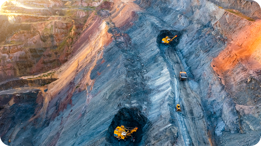
Satellite view of terrain analysed for mineral exploration targeting
Mining exploration site
Decorative dot icon

01

COMPILE

We define the mineral system

Mining exploration site

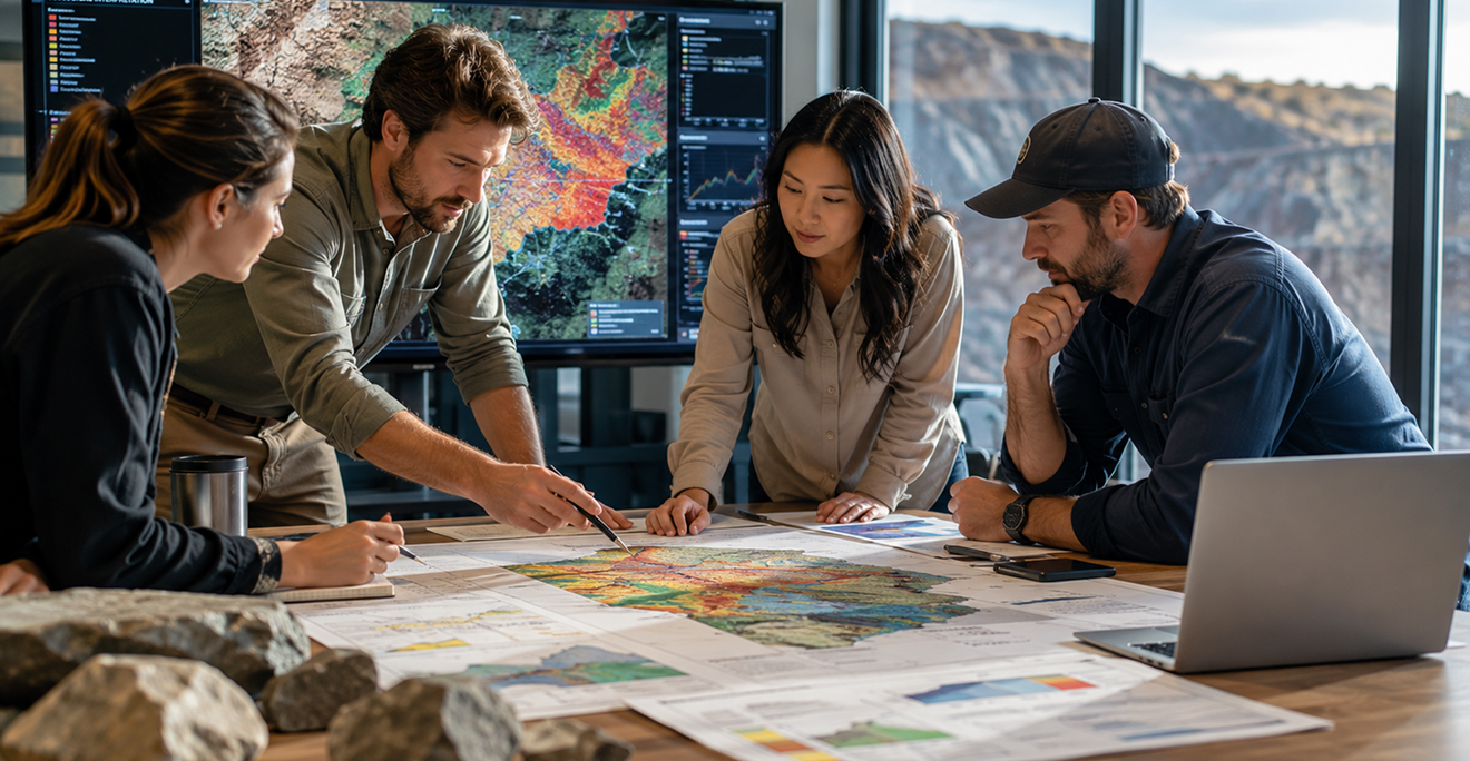
Before we look at a single pixel, we compile what’s already known: published literature, historical exploration reports, government geological and geophysical surveys, and any prior geochemistry or drilling. From that we build a working model of the system we’re hunting the controls, the host rocks, the structures that matter. Everything that follows is measured against that model.

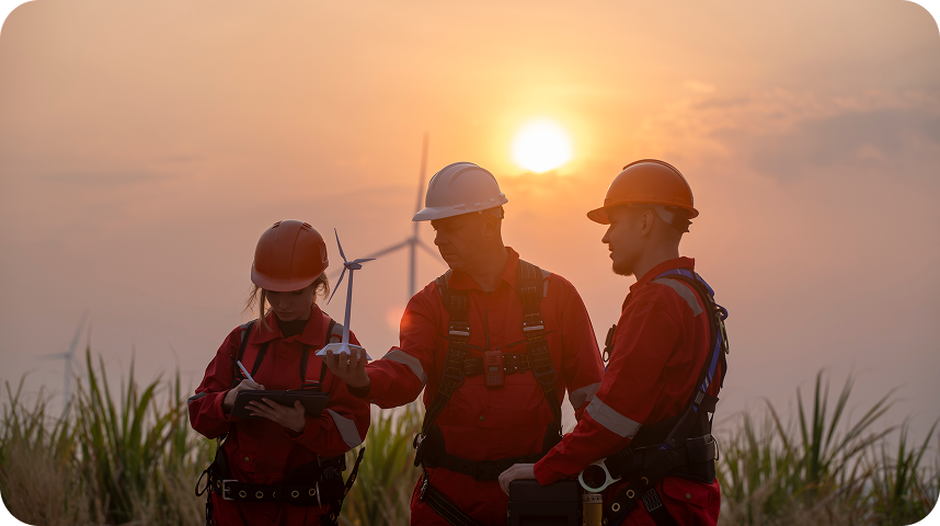
Exploration team assessing ground in the field
Decorative dot icon

02

FUSE

We build the data cube

Exploration team assessing ground in the field

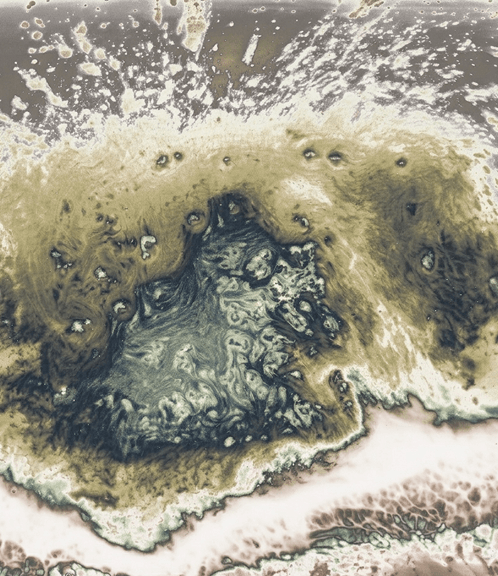
We co-register a full stack of remote-sensing data into one analysis-ready cube for your area: multispectral and hyperspectral imagery for mineralogy and alteration, radar and SAR for structure, thermal and terrain models for morphology, and 10+ years of history for an environmental baseline. Public geological and geophysical layers are folded in wherever they exist.

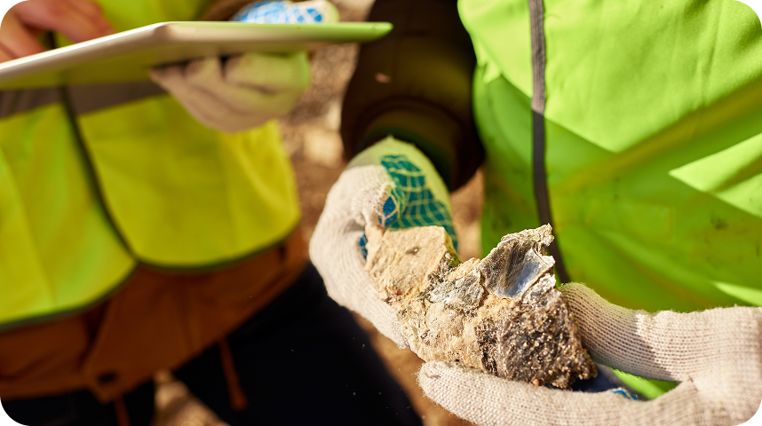
Government and institutional geological mapping at national scale
Decorative dot icon

03

INTERPRET

AI and geologists read the signal — together

Government and institutional geological mapping at national scale
Supervised and unsupervised models surface mineral anomalies, map alteration, and trace structures and lineaments across the cube. Then our geologists interpret those outputs against the system model, separating real signal from noise and turning it into ranked, prioritized targets with the reasoning written down. The model proposes; the geologist decides.
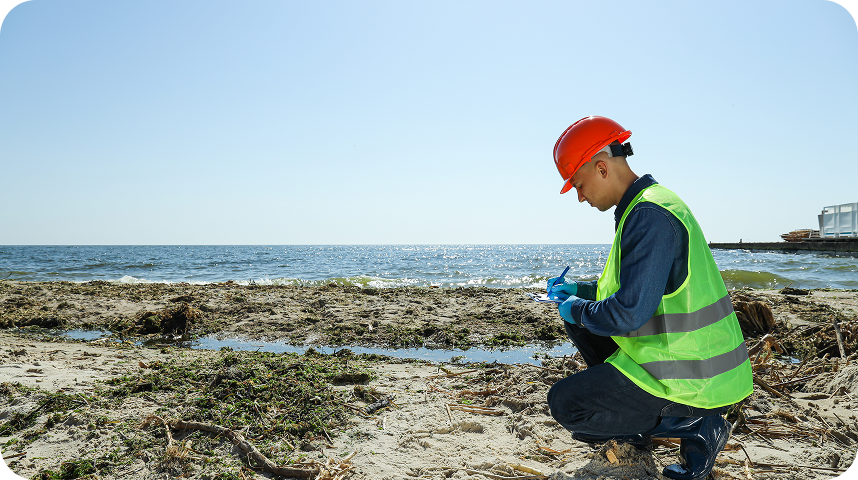
Sustainability officers reviewing environmental baseline data
Decorative dot icon

04

DELIVER

You get a decision — with the receipts

Sustainability officers reviewing environmental baseline data
You receive a ranked targeting report and GIS-ready layers you can act on immediately, plus an ESG baseline for permitting and due diligence. And you get dataroom access: every input, every layer, every step, open to inspect or re-run. Typically 2 to 4 weeks, for areas from 100 to 5,000+ km².

The inputs

The data behind it.

A single analysis-ready cube, built from complementary sources each one reading a different property of the ground.

DEM / Terrain

Hydrology

Public geophysics

Historical exploration

Multispectral

Hyperspectral

Radar / SAR

Thermal

Layers of satellite remote sensing data fused into an analysis-ready cube

The deliverable

What's in the report.

01

Priority zones map, ranked A → C across your license area

02

Each target with its geological rationale

03

Structural and lineament interpretation

04

Alteration and anomaly maps

05

10-year ESG and environmental baseline

06

GIS-ready layers that drop straight into your workflow

07

Dataroom access to every underlying layer

Not a black box. Most remote-sensing reports ask you to trust a result. We do the opposite: every target traces back to data you can open, question, and re-run. That’s how a target survives a technical review and an investor’s.